 |
 |
 |
 |
 |
 |
Portfolio - Python Scripts City of Greensboro Project: Python 2.5
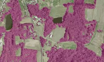
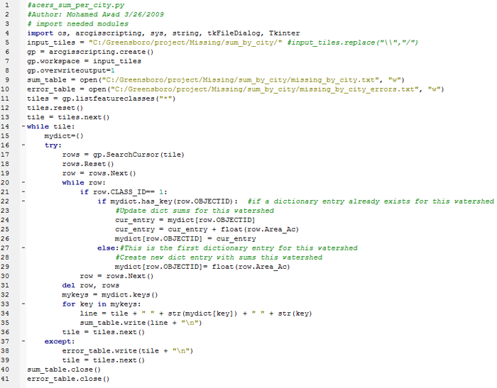
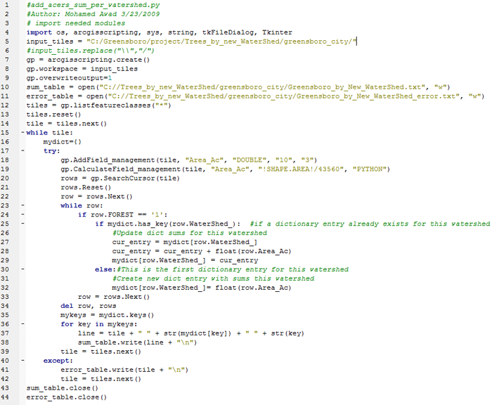
As part of project team, I wrote a Python scripts to automate the processing of hundreds of tiles of high-resolution imagery (6-inch aerial photography) after the classification process. I also helped with inspecting and editing classification results for areas of misclassification.The scripts samples below used to calculate trees areas per municipal boundaries and watershed boundaries with results tables in text files.
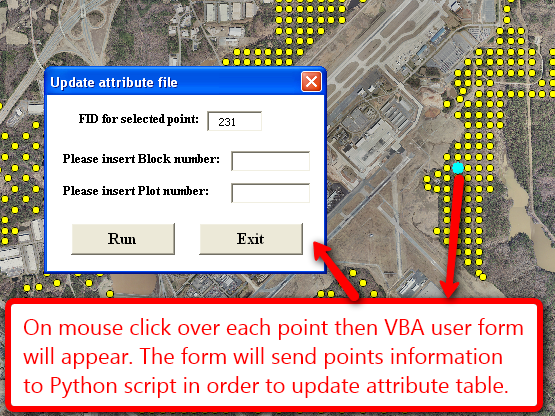
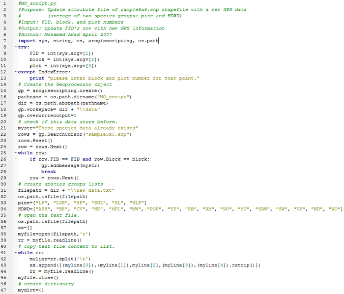
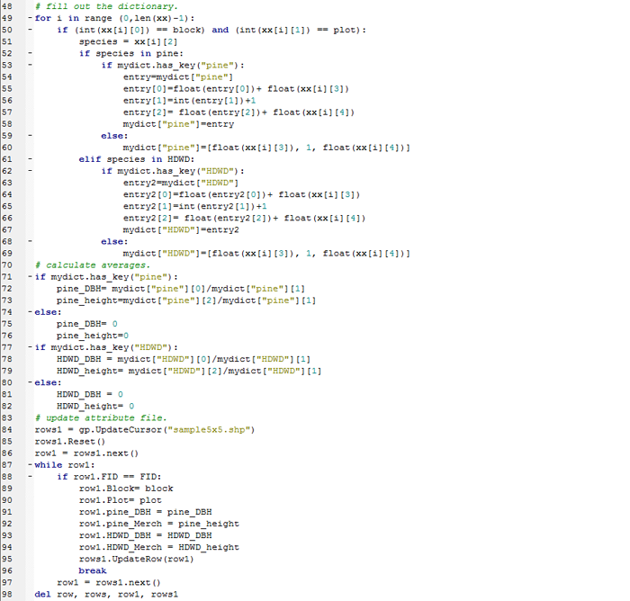
RDU project: Python 2.4, ArcObjects, VBA, ArcGIS Desktop 9.2 The VBA form 'Update attribute file' would be called as respond to a Mouse Down event while user selecting a point needed to be updated with the new GPS data. Then VBA form will pass the information of selected point to a Python script. The Python script will calculate new filed values and update the target row in the attribute file.
|
