 |
 |
 |
 |
 |
 |
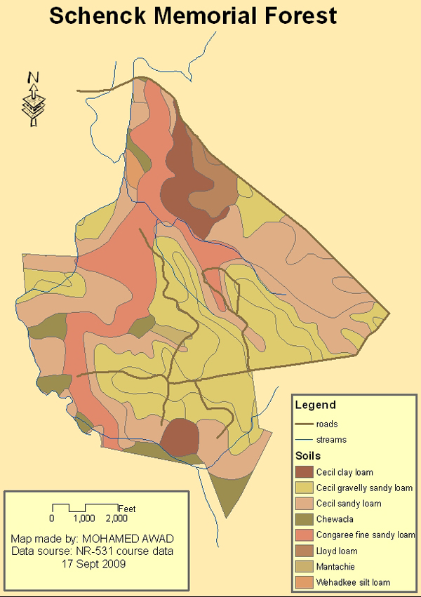
Portfolio - GIS Mapping The Schenck Memorial Forest is a Research Forest for the Department of Forestry and Environmental Resources at NC State University. I examined information about the forest and practiced some of the techniques that I have learned for displaying, classifying and presenting data in ArcGIS.
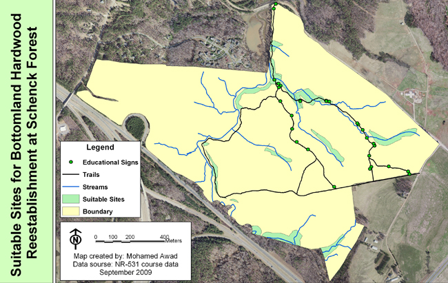
Originally, the area encompassed by the Schenck Forest had many stands of hardwoods along stream corridors. These stands were lost to agricultural activities early in the 1900's. Large portions of the forest are now being managed for pines. The Schenck Forest manager would like to re-establish bottomland hardwoods in suitable areas along streams where pine stands currently exist. Areas that are suitable for Bottomland Hardwood reestablishment should meet the following criteria: be within 100 feet of streams, fall within currently existing pine stands, and on soil types suitable for bottomland hardwood growth.
A map shows suitable sites for locating antennae along highway corridors in the Lee County area. This was an assignment for an up-and-coming cellular communications company that is trying to expand its business over there. Antennae may be placed on communications towers or water towers.
North Carolina State University (NCSU) Campus:
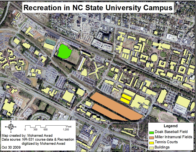
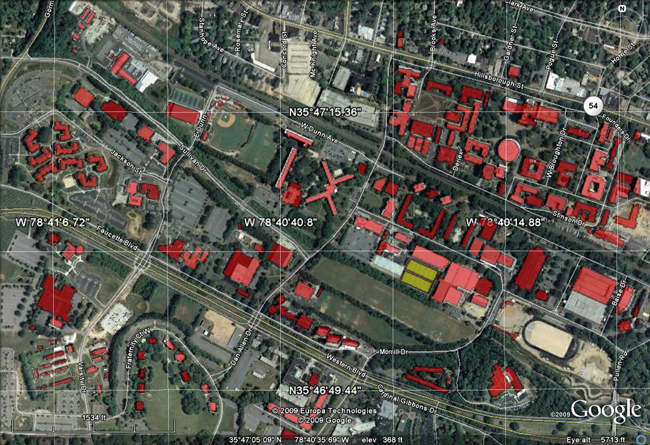
In this assignment I built a geodatabase for campus data as NCSU Recreation requested. I modified and created data using Editor Tool then exported some to .kmz format to be added to Google Earth:
|


