 |
 |
 |
 |
 |
 |
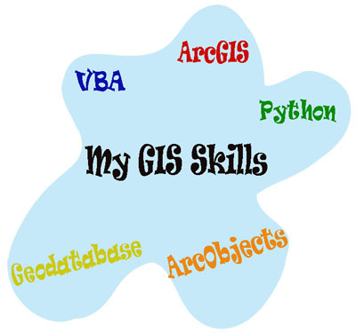
North Carolina State University (NCSU) GIS Portfolio of Mohamed Awad I completed my Master Degree of Geospatial Information and Technology on May 2010, plus a Graduate Certificate in GIS on May 2008 from North Carolina State University (NCSU). Back on August 2004, I gained my Bachelor Degree in Computer Science from Computer Man College. Based on my degrees, I possess exceptional knowledge on theories, principles, and applications of GIS with my interest in programming. During my time worked at Center for Earth Observation in NCSU, I maintained excellent experience developing ESRI GIS applications using ArcObjects with VBA; plus automating geoprocessing and enhancing workflow using Python scripts and Model Builder. On the top of that, I developed good experience in spatial analysis and preparing high quality digital maps, proficiency in ESRI ArcGIS 9.3.1, and advanced understanding of Geodatabase schema and relational databases. The links below shows some samples of my GIS work during my time in NCSU:
|
